

Description
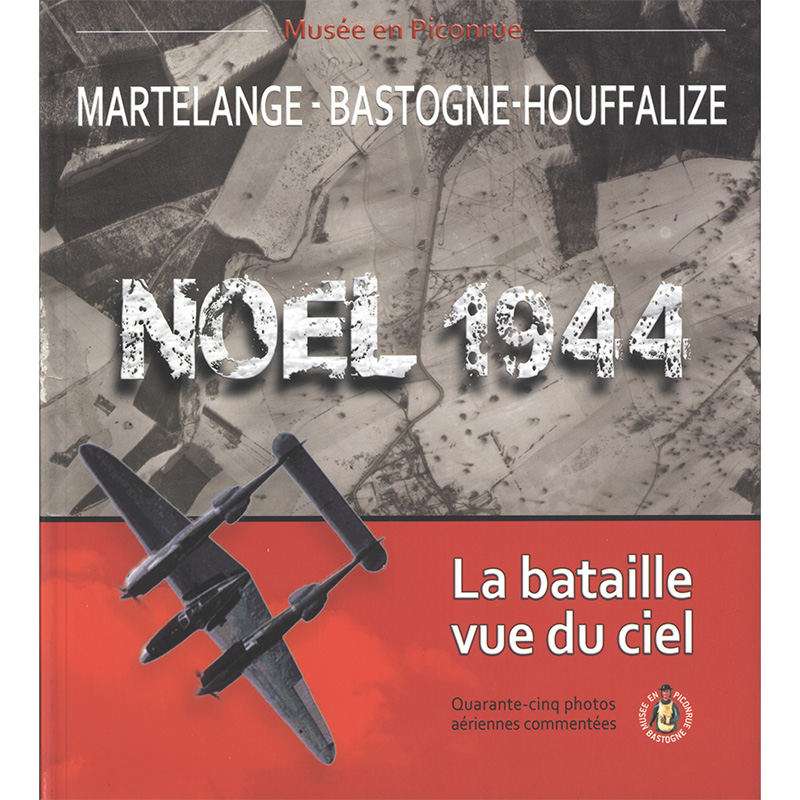
Martelange-Bastogne-Houffalize
Christmas 1944: the battle seen from the sky
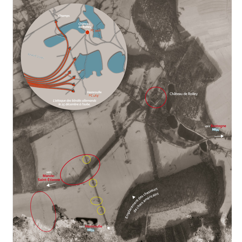
Is it still possible to shed new light on the Battle of the Ardennes? Yes! Thanks to the Musée de la Grande Ardenne, which possesses a unique and exceptional collection of original photographs: 172 aerial views of the Battle of Bastogne taken by an American photo-reconnaissance aircraft on 25 December 1944, between 1 pm and 2 pm. This aircraft, a USAAF P-38/F5 Lightning, photographed a vast geographical area stretching from Martelange to Taverneux-Houffalize, and from Perlé (Grand Duchy of Luxembourg) to Tenneville. On that day, the sky was blue; the fighting on the 25th and the preceding days had left a multitude of marks on the snow-covered ground: the positions of the warring parties, towns ablaze, and countryside riddled endlessly with shell holes and bomb craters. It is all these traces that have been captured in the aerial photographs taken by the USAAF’s aerial photography aircraft. These photographs show the famous battle as it has never been seen before, whilst providing specialists with a wealth of new details.
The Museum has published a significant selection of these documents, most of which have never before been seen, in a book entitled Martelange-Bastogne-Houffalize – Christmas 1944. The battle seen from the sky. Thus, the reader can, at a single glance, survey the battlefield in its full geographical extent and in the harsh reality of the terrain. And at a decisive moment: on 25 December, via three different routes, Patton’s armoured units came to the aid of the 101st Airborne Division. As for McAuliffe’s paratroopers, now surrounded, they have just repelled one of the most powerful German attacks on the Bastogne defensive perimeter.
This book helps us to better understand that these legendary battles were as much a siege as they were a fierce battle for roads and crossroads on the snow-covered Ardennes plateau. Indeed, this is what immediately strikes the eye in this type of image. All the markings on the ground are organised around the road network: main roads, country lanes and forest tracks. Finally, the reader will gain a better appreciation of the extent to which Bastogne – and even more so the surrounding villages – suffered damage caused by artillery and aerial bombardment, damage that is particularly spectacular ‘seen from the sky’. ’ The photographs published cover some thirty localities spread across the following present-day municipalities: Attert, Bastogne, Bertogne, Fauvillers, Houffalize, La Roche, Léglise, Martelange, Rambrouch (Grand Duchy of Luxembourg), Sainte-Ode, Tenneville and Vaux-sur-Sûre.
Further information
| Weight | 0,599 kg |
|---|---|
| Dimensions | 23 × 20,5 × 1,5 cm |
| Number of pages | 156 |